Description
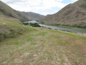
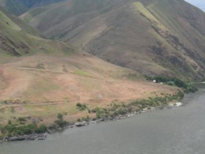
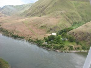
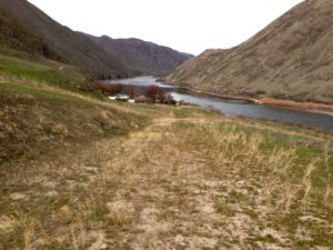
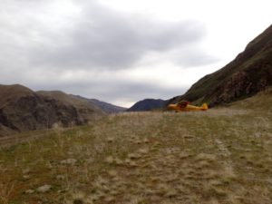
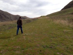
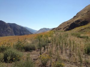
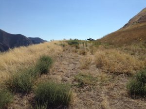
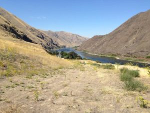
Located on the Oregon side of the Snake River, Cache Creek is a rough, uphill, dog-legged strip located upstream from Rogersburg (D69) about six miles. This strip is owned by the U.S. Forest Service and open to the public. There is a boat dock, restrooms, picnic area, and visitor center with information about Hell's Canyon. There is no camping allowed. This permit station marks the beginning of the "scenic portion" of the snake river. Caretakers are volunteers on one month rotations. The strip IS OPEN to public use, but some volunteers may not know that or have never seen a plane land there before.
This is a technical and rough mountain strip and may not always be suitable for use. Be current, be experienced, be safe!
Land to the south (uphill); takeoff north. The airstrip is quite steep in the middle, with less slope in the bottom and upper dogleg portions. Depending on your confidence level, there is rarely a need to land at the bottom of the strip; rather land midpoint or higher and use the slope to slow down. Park at the top. Takeoffs can be performed using only the dogleg portion in most aircraft.
If you remember, bring a newspaper for the caretakers.
You may check the current status before landing:
Hells Canyon National Recreation Area
Wallowa Whitman National Forest
88401 Hwy 82
Enterprise, Oregon 97828(541)426-5545
Runway
-
Length
1300
-
Width
30
-
Surface
TURF
Details
-
Facility ID
No ID 016
-
Elevation
900
-
CTAF
122.9
-
State
OR
Location
Lat: 45.98055555556 , Long: -116.90305555556 - OREGON, USA




Add a review