Description
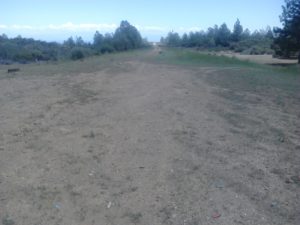
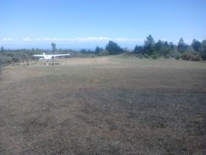
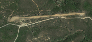
Another pilot found this airstrip, I just beat him to putting it up. I used Yolly Bolly because it's right next to the Yolly Bolly Wilderness area. According to BLM charts this is BLM land! Someone land and explore it!
Runway
-
Length
2500
-
Width
36-40
-
Surface
DIRT
Details
-
Facility ID
new
-
Elevation
3000
-
CTAF
122.9
-
State
CA
Location
Lat: 40.17012960869 , Long: -122.78441861781 - , USA



bryan@mediastew.tv
October 21, 2023 at 5:12 pmI land at this airstrip several times a year. Though I have not camped here, I do think it would be a nice spot. Wildfires have blackened all the trees around the strip which is a bummer because it was pretty green before.
We measured 1900′ useful runway. One time going in we found a firepit with big rocks set up right in the middle of the airstrip so be careful.
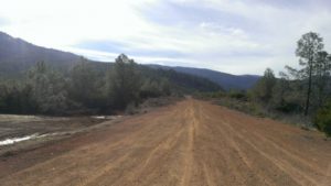
There’s a well-kept dirt road next to the airstrip that makes it an easy-ish walk/hike deeper into the wilderness. I always land to the west and take off to the east but a go-around would be much easier to pull off if you landed to the east (rising terrain to the west).
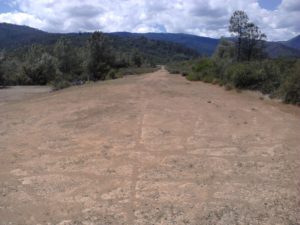
This airstrip often has some ruts from vehicles driving on it when wet but I have never seen anything terribly deep. Fun approach and take-off. nice and long and just about any airplane suited for dirt strips can do this (IMO).