Description
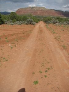
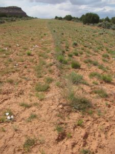
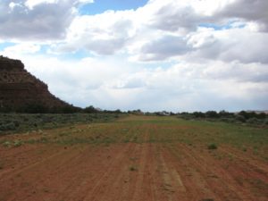
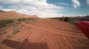
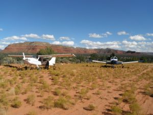
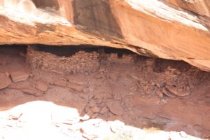
The Fry Canyon airstrip is a beautiful strip next to Fry Canyon - a slot canyon that contains ancient Anasazi indian cliff dwellings. The runway (12-30) is adjacent to Hwy 95, and runs uphill 1.7% to the North. Land North of the road that crosses the runway, the area south of the road is good for camping, but be cautious when taxiing as there are ruts and very soft areas. The airstrip North of the road is about 2300' long. There is a windsock that is in decent condition.
If you follow the road that crosses the airstrip to the East about 1/4 mile, it dead ends on the edge of the canyon and gives you a fantastic view of the Anasazi ruins on the opposite side. Follow Hwy 95 South from the airstrip about 1 mile and you can enter the slot canyon under the bridge where the road crosses above the canyon. You will get wet, and if you intend to hike all the way North to the ruins, you will need harnesses and rope as there is a 45' rappel required.
Runway
-
Length
3160
-
Width
120
-
Surface
DIRT
Details
-
Facility ID
UT74
-
Elevation
5372
-
CTAF
122.9
-
State
UT
Location
Lat: 37.64833333333 , Long: -110.16694444444 - UTAH, USA



Add a review