Description
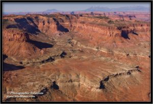
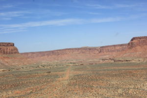
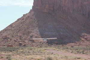
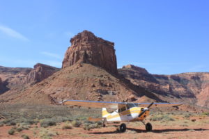
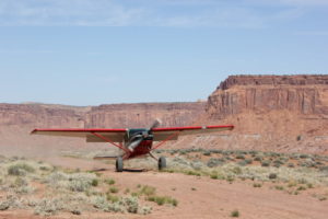
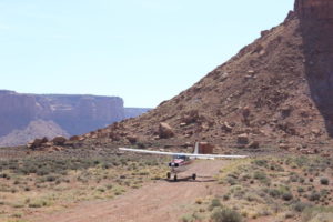
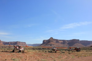
The airstrip is about 10 miles upstream from the mouth of Happy Canyon, and sits on a bench at the base of a sandstone cliff. There are two intersecting runways, an E-W and a N-S. However, the North-South runway is overgrown and usable only by big tired STOL aircraft. Landing to the East is uphill 1.38%. The E-W runway is about 1380' feet long usable and there is about 680' of unusable runway on the West end that is overgrown. There are cones that mark the start of the good section, if they are still there. The runway surface is sand and gravel, and it is soft on the edges. Watch for cactus on the edges.
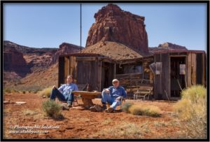
There is a great old miners cabin left over from the mining days, and there is lots of great stuff in there to look at. Old mining equipment, glass bottles, tin cans, some old clothing, etc. Please leave it all there. The Utah Backcountry Pilots Association has left some supplies for those in need. There is water for use in an emergency, a tarp, some runway tools, lawn chairs, a bbq (bring your own charcoal) and miscellaneous other useful things. There is a box of Tide laundry soap, but I can't figure out why.
Runway
-
Length
2065
-
Width
50
-
Surface
DIRT
All Runways
| Identifier | Length | Width | Surface |
| 09/27 | 2065 | 50 | DIRT |
| 18/36 | 1290 | 50 | DIRT |
Details
-
Facility ID
UT97
-
Elevation
4934
-
CTAF
122.9
-
State
UT
Location
Lat: 38.15722222222 , Long: -110.29222222222 - UTAH, USA



Add a review