Description
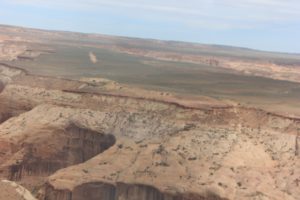
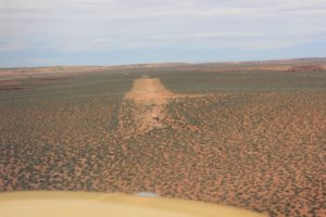
Spectacular setting above Dirty Devil canyons. Airstrip which is just a widening of the road, has windsock and slopes up to west (and then down hill). Possible to taxi on road to the south to the edge of the plateau. About 3 miles following road to Angle Point lookout. Great hiking.
Runway
-
Length
2695
-
Width
20
-
Surface
DIRT
Details
-
Facility ID
No ID 081
-
Elevation
5287
-
CTAF
122.9
-
State
UT
Location
Lat: 38.32545089722 , Long: -110.43531799316 - UTAH, USA


Add a review