Description
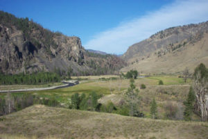
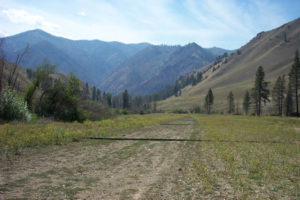
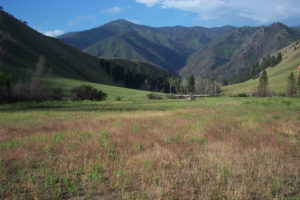
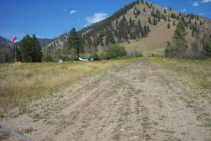
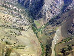
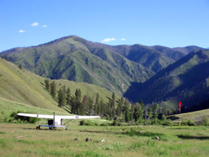
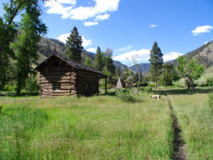
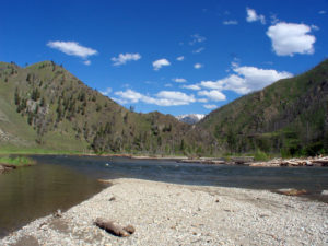
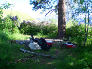
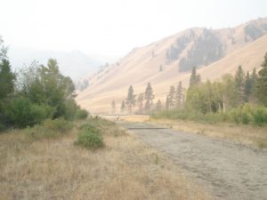
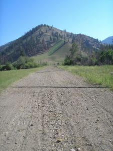
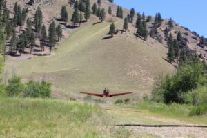
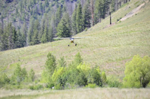
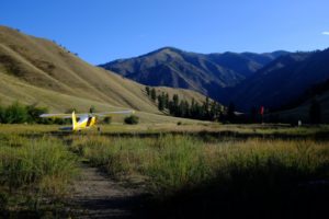
Cabin Creek airstrip is about 1.5 miles up Cabin Creek from Big Creek, nestled between mountains. The runway is uphill and has a slight curve to the right. Airplane parking is in the small open grassy area about mid-field on the west side of the runway. There are several places to pitch tents behind the airplane parking area. Rumor has it that there is good fishing along Big Creek. The main Big Creek trail system connects to the trail that comes down Cabin Creek from the airstrip.
Hiking
There are several day hike possibilities out of Cabin Creek. To hike to the Mile High airstrip, go about 4.5 miles west up Big Creek to the Garden Creek trailhead which is across from the Vines airstrip, located on the south side of Big Creek. Take a right (north) up the Garden Creek trail about 3 miles to the outfitters camp. The airstrip is located about 0.5 miles beyond the camp, on the steep, grassy hillside - it is hard to recognize because it is extremely short and steep. There are some great views of the Big Creek drainage from here and on past the airstrip about 0.5 miles. Another trail crosses Big Creek about a quarter mile downstream (east) from the mouth of Cabin Creek. Big Creek can generally be forded in late summer/early fall. Take the trail about 4 miles up the mountain to Rush Creek lookout point which has an old lookout shack and some great views. Another trail starting at the north end of the airstrip goes east up Cow Creek about 5 miles to the top of the mountains east of Cabin Creek - its a long hike to the top but has great views.
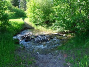
There is yet another trail that goes north from the airplane parking area and follows Cabin Creek. The trail appears to cross Cabin Creek about 0.5 miles from the airstrip near an outfitters camp but actually continues on to the right, paralleling Cabin Creek. The trail crosses Cabin Creek at about 2 miles and continues up the steep mountain side to some good views at about 3-4 miles.
Runway
-
Length
1750
-
Width
40
-
Surface
TURF-DIRT-F
Details
-
Facility ID
I08
-
Elevation
4289
-
CTAF
122.9
Location
Lat: 45.14352444444 , Long: -114.92898972222 - IDAHO, USA



Add a review