Description
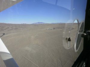
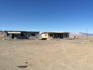
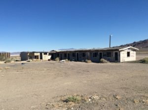
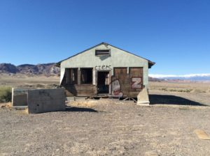
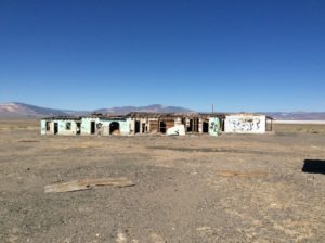
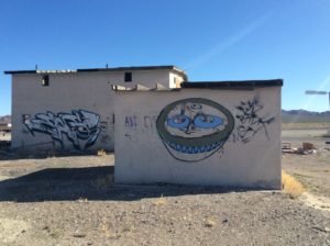
Airstrip is adjacent to the ghost town of Coaldale, which is a modern town, abandoned recently. The original Coaldale is located 1.25 mi NNW.
Airstrip is on BLM land and as of 2011 was not designated a conservation area, national mounument, or wilderness area.
Runway
-
Length
3100
-
Width
?
-
Surface
DIRT
Details
-
Facility ID
No ID 135
-
Elevation
4640
-
CTAF
122.9
-
State
NV
Location
Lat: 38.02686400000 , Long: -117.88785000000 - NEVADA, USA



Add a review