Description
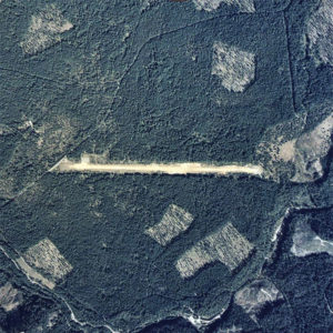
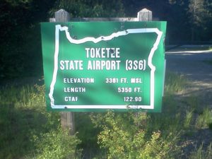
Toketee State Airport (FAA LID: 3S6), is a public airport located two miles (3.2 km) south of the small town of Clearwater in Douglas County, Oregon in the Umpqua National Forest
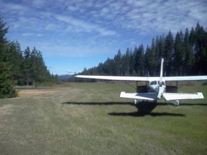
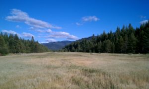
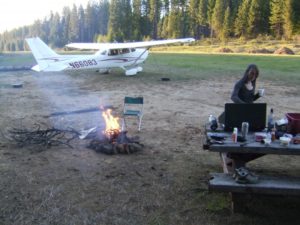
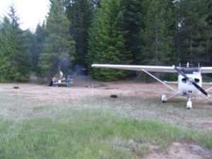
Airport camping is permitted. The best camping is located on the east end. There are three tie-downs there, a picnic table and a fire ring. Also this is where the airport register is located. There is a faint trail behind the campsites that leads down to Fish Creek to the southeast. Camping on the east end you are over a mile from the nearest road. There is a pit toilet and the state airport sign located on the west end, this is where the road access is but access to the runway is gated. Fish Creek is open to trout fishing April 28th through October 31st. Due to numerous elk grazing on the runway the middle portion is currently pretty rough but the first 1500' or so of each end is pretty smooth. Watch for turkey and elk on the runway.
Runway
-
Length
5350
-
Width
60
-
Surface
TURF-F
Details
-
Facility ID
3S6
-
Elevation
3361
-
CTAF
122.9
-
State
OR
Location
Lat: 43.22344444444 , Long: -122.42116666667 - OREGON, USA



![Chinese Street Fashion - [35] - Fashion China](https://i.ytimg.com/vi/UkIhM-ufaAE/sddefault.jpg)
Add a review